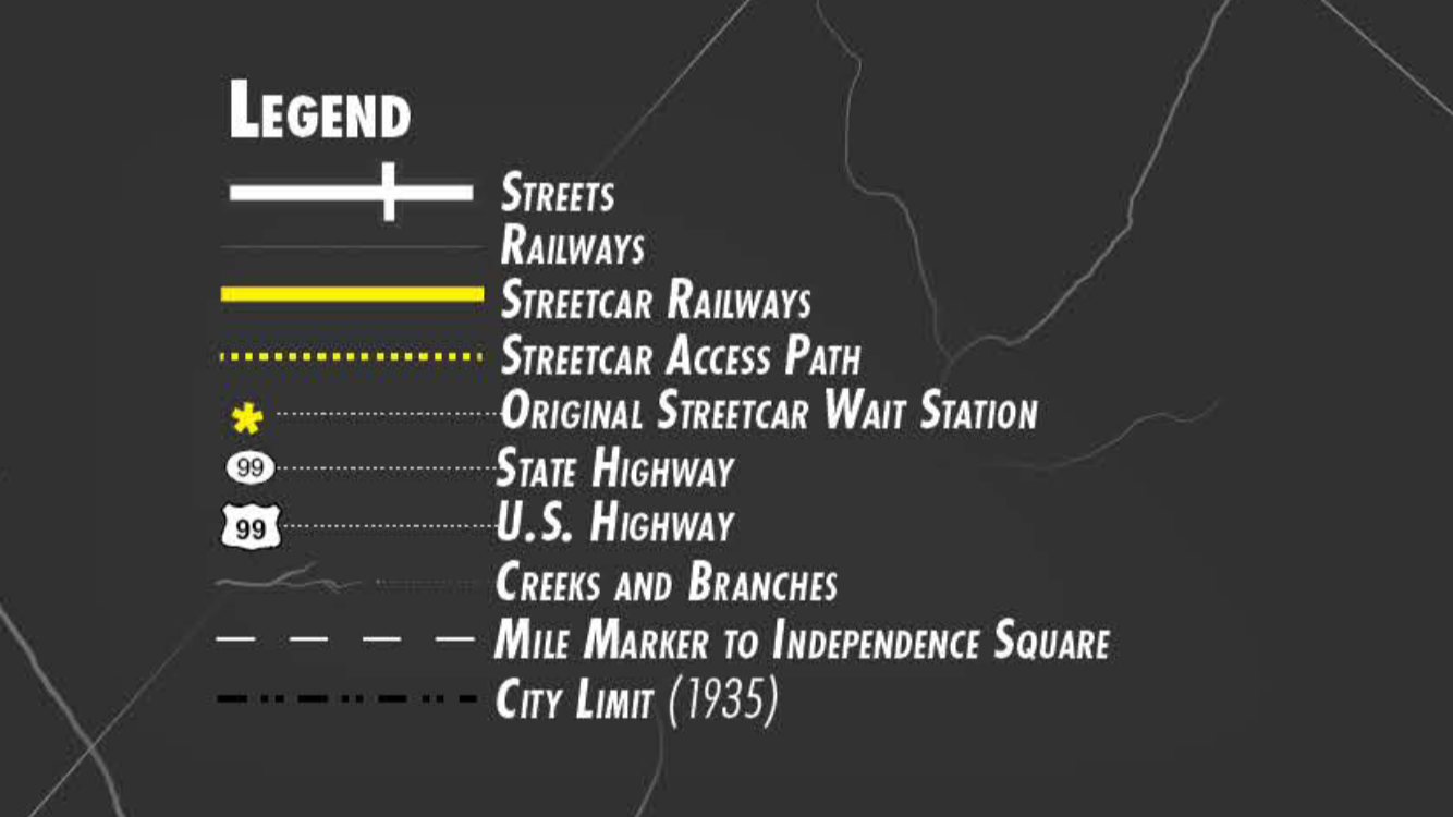
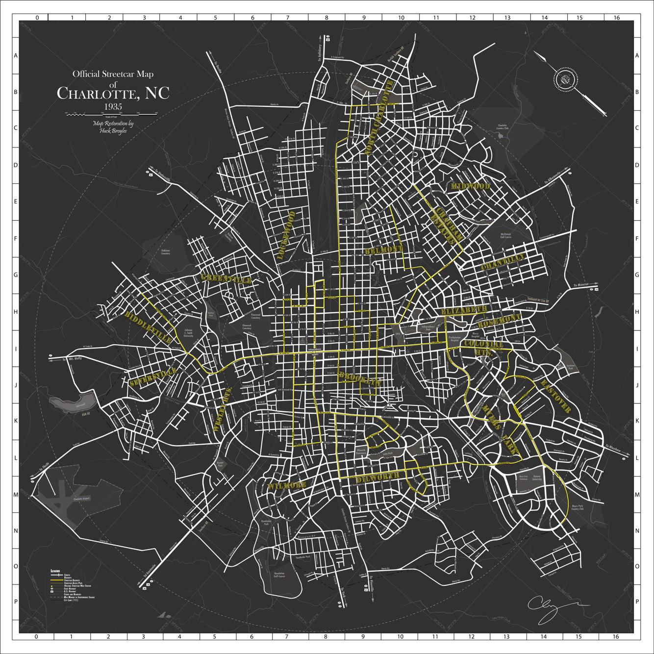

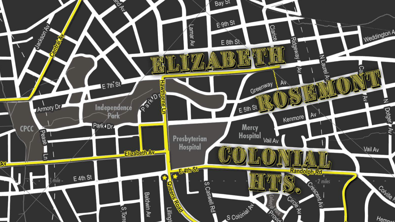
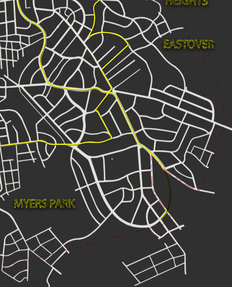
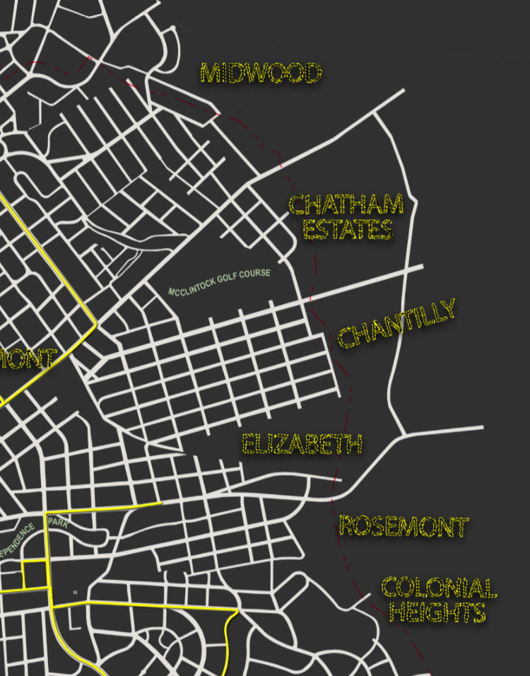
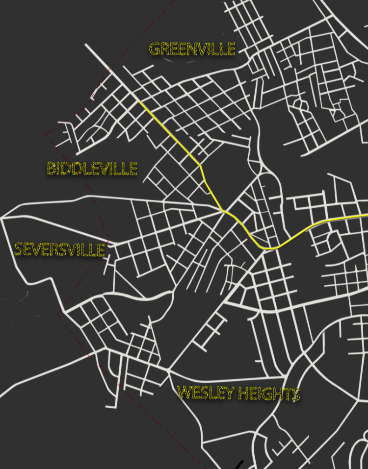
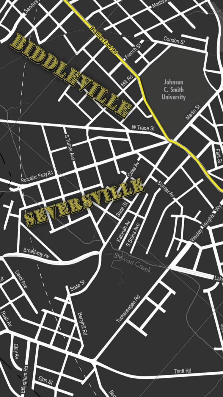
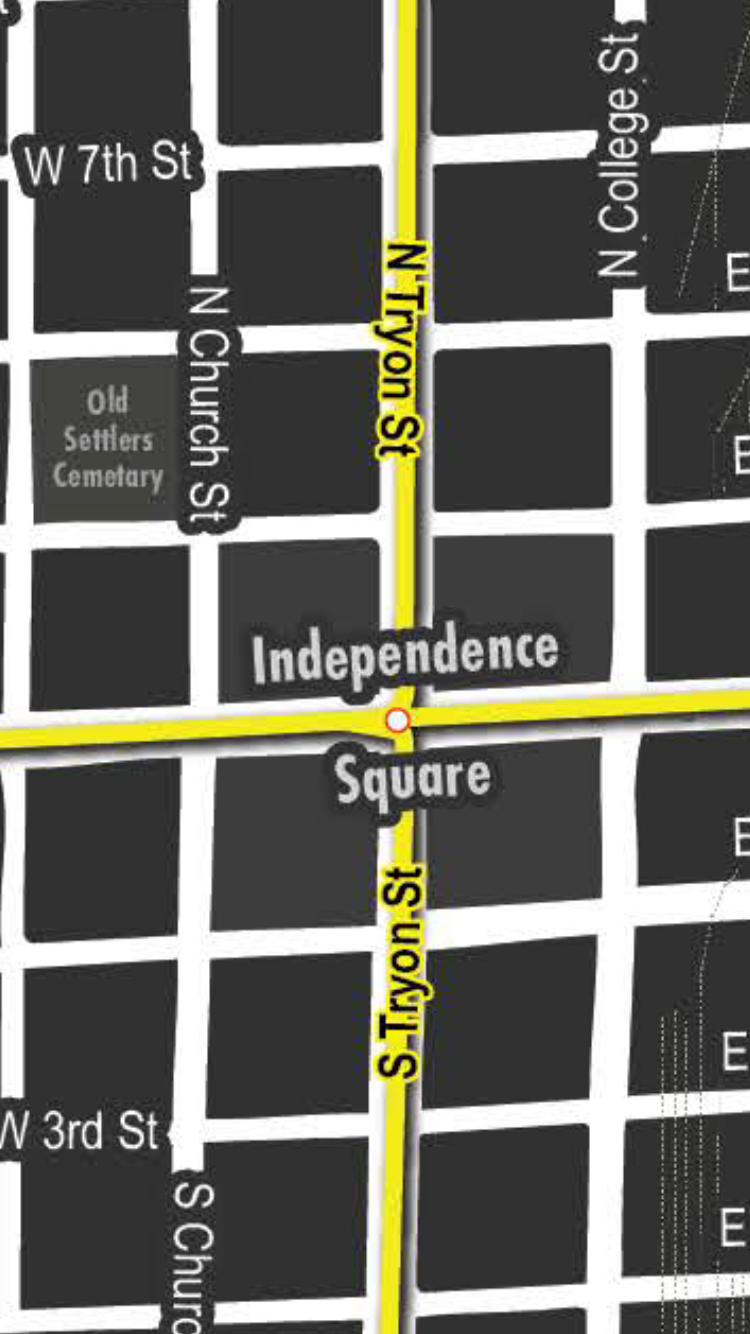

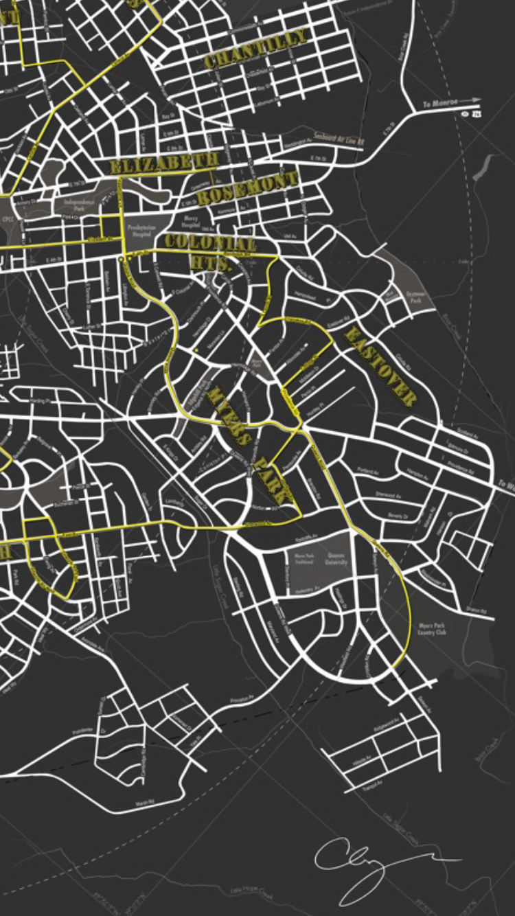
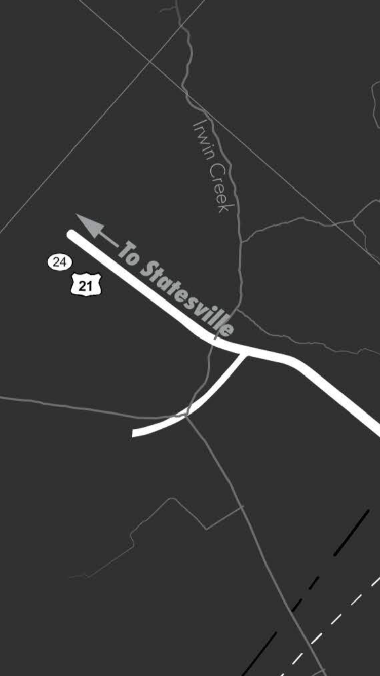
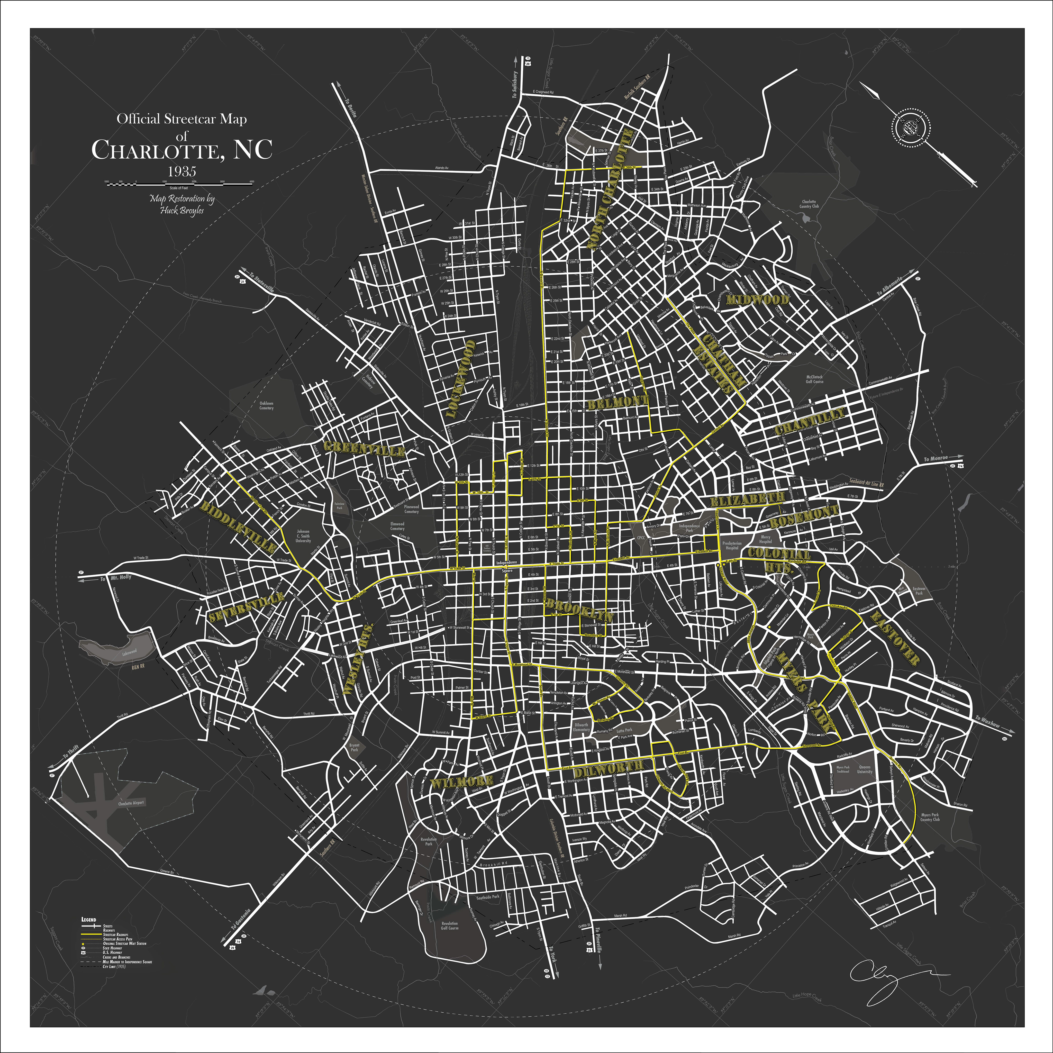
Using bits and pieces from multiple maps that I acquired during my research as an urban design graduate student this map shows the most complete picture ever produced of Charlotte North Carolina’s streetcar network prior to being dismantled in the mid-1930s in favor of a public bus system. The streetcar network connected all of Charlotte’s first neighborhoods and now in 2018 the city is again pushing for public transportation and infrastructure improvements that include both the streetcar and light rail.

